












Billion-year-old rhyolite at Johnson's Shut-Ins State Park, in the St. Francois Mountains, has been worn into chutes and pools you can swim. The rock walls shut the water in, which is the shut-in the park is named for. You sleep in the campground loops above that gorge and walk down in the morning, instead of depending on the day-use lot. The swimming lot holds 100 cars and fills by mid-morning in summer, which is the reason to sleep in the park.
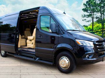
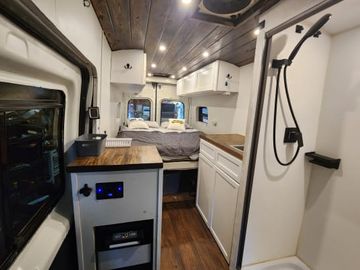
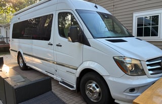
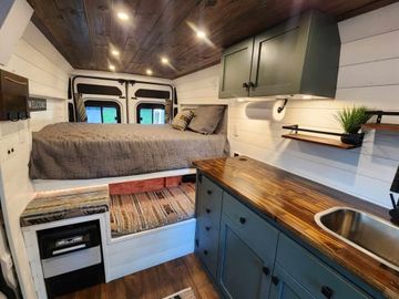
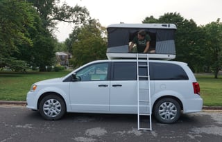
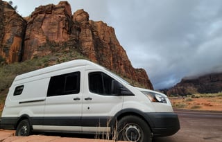
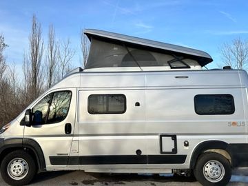
The campground is fully reservable, so book the site before you book the van. 14 walk-in tent-only platform sites will not take a van, which is why the improved loops are the ones to lock. If you need more sleeping space than a campervan bunk, St. Louis also lists RVs.
The same mountains hold Elephant Rocks State Park, granite boulders 1.5 billion years old, older stone than the rhyolite in the shut-ins. The boulders line up like a train of circus elephants along an accessible Braille Trail. Picnic spots, a playground, bouldering, and fishing fill the day. There is no camping, so the van stays at Johnson's Shut-Ins.
Taum Sauk Mountain State Park holds the highest point in Missouri. A portion of the Ozark Trail runs through glades and overlooks. The campground there is tents only, so this is a day from the shut-ins.
Meramec State Park
If you are already pointed down I-44, Meramec State Park at Sullivan is the first night that still has a cave and a river. Fisher Cave is a walking tour by the flashlight in your hand. The Meramec is the rest of the day, floating, fishing, or walking more than 13 miles of trail along it.
The Meramec camping loops run basic, electric, and full-hookup sites, so this is the fuller campground of the close nights. Showers and water run April through late October on those loops, then drop to a frost-free spigot at the dump station.
Ozark National Scenic Riverways
You float the Current or the Jacks Fork and sleep on the bank, tents and RVs at the edge of a spring-fed stream. That is a week of its own, not a day you squeeze in after the shut-ins. The rivers are what the park was created to protect, and the developed campgrounds are how a van stays on them. At Big Spring the Current comes out of the rock, and campers set up next to that water.
Alley Spring is the largest of the six developed campgrounds, open year-round, and it takes RVs and trailers. Alley Spring and Big Spring have electric sites for a van that needs the hookup.
Round Spring, Pulltite, Two Rivers, and Akers fill out that list, in the country around Eminence and Van Buren. Every developed site books up to six months ahead on recreation.gov, a rule in place since January 2025, so the overnight is the first booking. Two Rivers switches to backcountry camping in winter.
Cuivre River State Park
North of St. Louis, Cuivre River State Park at Troy is the lake weekend, one of the state's largest and most rugged parks. You swim, boat, and fish at Lake Lincoln. Campground 1 stays open year-round, with showers and water from mid-April through late October. This is the close overnight when the trip is pointed north instead of into the mountains.
Babler State Park
Babler State Park is the in-metro night, a CCC-era park on the western edge of St. Louis with hiking, bike, and horse trails. Each site allows two vehicles, so a second car fits if you keep it on the pad. A late-afternoon handover from St. Louis reaches Babler before dark, so it is the first night when the mountains are tomorrow.
The Katy Trail through St. Charles and Hermann, and Lake of the Ozarks, are on the Missouri campervan page.