
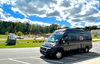
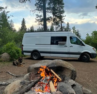








Wild ponies graze the open balds at Grayson Highlands. You walk up from the campground toward the herd, then keep going for Mount Rogers on the Appalachian Trail. The overnight stays in the trees below the balds, close enough that sunrise is a walk, not a drive.
Damascus is the town on the Virginia Creeper Trail, a former rail bed of trestles over Whitetop Laurel Creek, with Abingdon at the other trailhead. As of September 2026, the upper section between Whitetop and Damascus is closed for a rebuild into 2027. Ride whatever is open below that closure, and keep the overnight at Grayson.
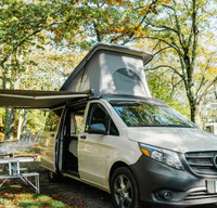
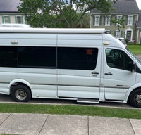
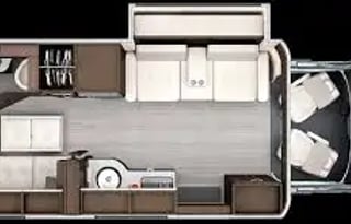
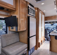
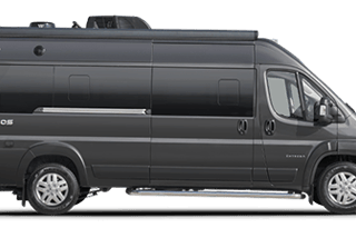
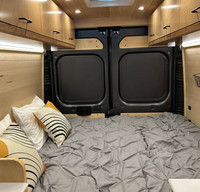
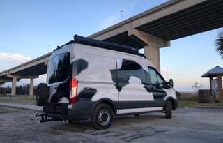
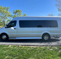
The park campground is the night, with electric and water on the improved loop for vans up to 40 feet. Full-service camping runs May through October, so reserve the site first, then the van. March, April, and November are primitive, with no water, and camping stops from the first Monday in December through the first Friday in March. If you need more sleeping space or a longer rig, look at RVs for rent in Virginia.
Blue Ridge Parkway south of Roanoke
On the Blue Ridge Parkway south of Roanoke, you sleep in the woods at Rocky Knob and spend the day at Mabry Mill. Rocky Knob's campground has wooded loops, no hookups, and a dump station, and it stays open May through late October. Sites go first come or on Recreation.gov up to six months out.
Mabry Mill is a water-wheel over a pond, with the gristmill, sawmill, and blacksmith shop Ed and Lizzy Mabry built, on a short walking trail. Weekend demonstrations run in summer and early fall.
The Parkway night at the city itself belongs to Roanoke. North Carolina continues the drive south, and West Virginia is the next state over the ridge.
Skyline Caverns and Grand Caverns
Skyline Caverns is a guided walk past anthodites, the spiky clusters that look like spiders on the rock. Grand Caverns is a separate cave day in the same valley, tall chambers on a walking tour. Both are day use, and the van does not sleep in the lot.
You sleep at Shenandoah River State Park on the South Fork of the Shenandoah River, with water and electric year-round and some pull-through sites. River Right is walk-in and tent-only. The views run toward Massanutten Mountain and the national park.
Skyline Drive and the park campgrounds belong to Shenandoah National Park. Alexandria covers Northern Virginia and a parked day in the District, and Fredericksburg covers Lake Anna and the battlefield days. Maryland is the state line north of that.
Cumberland Gap
You sleep in the woods below Cumberland Gap, on the Virginia side, at Wilderness Road Campground. The pass above is the one the pioneers walked. The NPS campground sits a few miles from the visitor center, with electric on some loops and non-electric on the rest, no full hookups at the sites, and a dump and fill station near the entrance.
Wilderness Road State Park in Lee County is a different place with a similar name. Group loops in the NPS campground do not take RVs. Kentucky and Tennessee continue the trip on the other sides of the gap.
Breaks Interstate Park
From the rim at Breaks Interstate Park you look down on the Russell Fork River, the gorge the park itself calls the Grand Canyon of the South. The campground has full hookups available, electric, water, and sewer, from April through October.
Hungry Mother, Claytor Lake, New River Trail, and Natural Tunnel are the other southwest state-park campgrounds. Occoneechee State Park's campground sits on Kerr Lake, and as of September 2026 the boat ramps are closed for low water.
Richmond is the James River and the close state parks south of the city. Norfolk is the Eastern Shore drive. Virginia Beach is the oceanfront night.