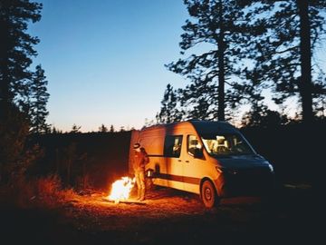
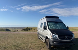
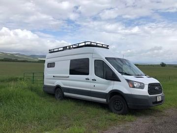








Seeley Lake's east shore is a swimming beach under larch and pine on glacial water, and Big Larch is the overnight above it. Highway 83 runs north from Missoula to that beach and on through the Chain of Lakes into the Swan. Glacier's west side is farther up that line, and that overnight belongs on the Kalispell campervan page.
North of Big Larch, the Clearwater Chain of Lakes continues at Salmon Lake and Placid Lake state parks, the other overnights on the same glacial water. Those campgrounds open early May through late September at Salmon Lake and Placid Lake, then go day-use only from October through April.
Big Larch is the first night. Reservations run from the Friday before Memorial Day through Labor Day, 19 sites stay first-come even in that window, and there are no hookups. In summer, lock the overnight before you book the van.
The Blackfoot is the fishing river on the Missoula side of these hills, the water in A River Runs Through It. You fish it from the accesses along the recreation corridor, and its float-in camps take a reservation and a permit and are for boats, so the van waits at the access.
The Rattlesnake is Missoula's own national recreation area, a day-trail system at the edge of town. The Bison Range is the other day, a ridge road looking down on bison in the Mission Valley, and vehicles over 30 feet and anything towing a trailer stay off Red Sleep Drive and Prairie Drive as of September 2026.
Lake Como and the Bitterroot
South of Missoula the Bitterroot runs to Lake Como. The lake is the overnight, a shore campground in the trees that is first-come every day of the year, with 10 pull-throughs on water and electric hookups, and you cannot reserve a site. Hamilton is the valley town on the way. It is the easy first night if you want this valley instead of Seeley Lake.
Painted Rocks State Park is farther up the valley and stays open all year. Two sites take a rig up to 35 feet and the rest cap at 25 feet. If you need more sleeping space than a campervan, look at RVs for rent in Missoula and plan on those Lake Como pull-throughs.
Lolo Pass and Lolo Hot Springs
US-12 is the paved road west over Lolo Pass, the only paved link from Missoula into north-central Idaho. It is the Lewis and Clark corridor, and Lee Creek Campground on the Montana side has a Nez Perce National Historic Trail marker.
Lee Creek takes RVs on 30-foot parking spurs from mid-May through early September, and Lolo Hot Springs is next door for a soak. Overnights on the Idaho side belong on the Idaho campervan page.
Rock Creek, Georgetown Lake, and Philipsburg
Rock Creek is the trout stream southeast of Missoula, an unimproved road along blue-ribbon water. Georgetown Lake is the fishing overnight near Philipsburg, and Philipsburg Bay is the Forest Service campground on the shore with paved loops and a boat ramp, about half the sites reservable in summer.