

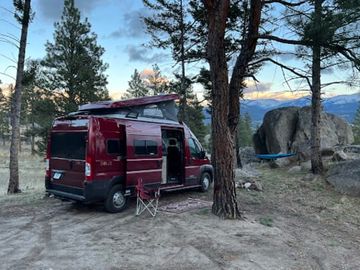
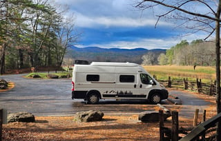
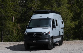
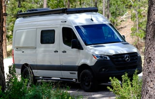
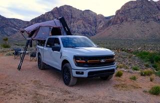
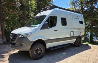
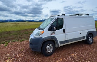








At Benchmark, stock corrals face the eastern wall of the Bob Marshall, and you sleep in the campground beside them. Behind Choteau and Augusta, plains meet the limestone reef of the Rocky Mountain Front. Sun Canyon and Gibson Reservoir put more trailhead camps under that wall, and the van waits there while you walk in.
The wilderness behind those pads is the Bob Marshall Wilderness Complex, more than 1.5 million acres across the Great Bear, Bob Marshall, and Scapegoat Wildernesses, the third largest in the lower 48. Benchmark is west of Augusta, with vault toilets and no potable water.
Home Gulch lines the North Fork Sun River, and Mortimer Gulch is the camp at Gibson Reservoir, both out of Augusta. Cave Mountain, northwest of Choteau, is the Front pad with potable water.
The Front camps have no hookups, and they do not take reservations, a forestwide rule that also covers Many Pines and Kings Hill. They are bear country, so food storage is part of the night.
Great Falls has no public campground inside city limits, and the nearest public pads are roughly 50 miles out, toward Cave Mountain or south on US-89.
Giant Springs puts out more than 156 million gallons a day and feeds the Roe River right in town. First Peoples Buffalo Jump is the cliff day, a mile-long sandstone edge with a bone bed below it and the Front and the Missouri valley in view from the rim.
Freezeout Lake pulls extra traffic through Great Falls when the snow geese come through in spring. Treat it as a day trip from a Front or US-89 pad.
Fort Benton and the Upper Missouri River Breaks
East of Fort Benton you follow the Missouri into the Upper Missouri River Breaks National Monument. You sleep at Coal Banks Landing or Judith Landing, BLM pads on the river with no hookups.
Coal Banks Landing takes rigs up to 40 feet on first-come pads, and potable water comes on after the last spring freeze, typically by mid-May. The landing stays open from early April through early December.
Judith Landing has the same 40-foot cap, no water in camp, and a shorter season, mid-May through mid-October.
The Little Belt Mountains on US-89
US-89 south of Great Falls climbs into the Little Belt Mountains. Many Pines is the camp for longer rigs, with sites for rigs up to 51 feet, potable water, and a season that usually runs late May through October. It is 58 miles south of Great Falls on US-89.
Kings Hill is at about 8,000 feet, the highest developed campground in these mountains, generally open mid-June through late September, with sites for rigs up to 35 feet. If you need more sleeping space or a longer rig than that 35-foot cap allows, see RV rentals in Great Falls.
Sluice Boxes State Park is the day hike in Belt Creek Canyon, a limestone cut with mine tailings, an old railroad grade, and cabin remains along the creek. There is no vehicle camping, and as of spring 2026 a rockslide has left boulders in the creek and across the trail below Logging Creek Bridge.
Helena is a separate overnight, on the Helena campervan page. Glacier's east side and Fort Peck are on the Montana campervan page.