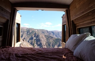

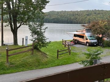
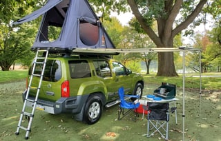
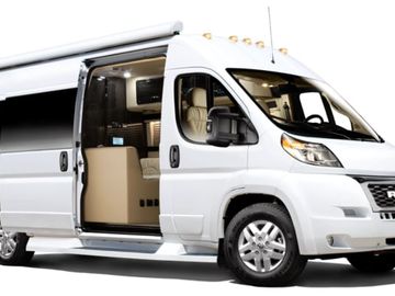








The lake at French Creek State Park is a cove the hardwoods have almost closed, and Hopewell Furnace in the next hollow is charcoal houses around a furnace stack that still looks like work. In autumn the hills throw their color on the water before they lose it. You sleep at the campground and drive into Philadelphia for the days.
Hopewell Furnace National Historic Site is the iron village next to the campground. It shares the hardwoods with the lake, so the furnace morning and the cove night are one stop.
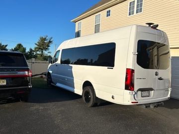
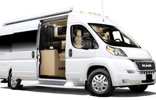
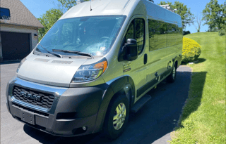
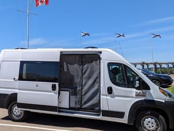
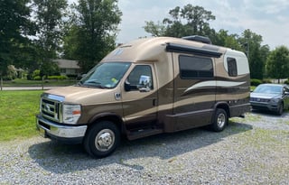
French Creek is the public campground with hookups this close to the city, which is why the first night belongs there. The park's camping page lists electric sites and some full hookups with sewer and water, and a season from March through the first weekend in January. Reserve the site first. If you need more sleeping space than a campervan holds, look at RV rentals in Philadelphia.
Independence Hall
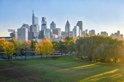
The red-brick Georgian facade on Independence Hall carries the steeple over the street, and the Assembly Room inside is where the Declaration and the Constitution were debated. You park the van for the day and walk Independence National Historical Park on foot. The Hall and the Liberty Bell Center share that park, and the van stays put until you are done.
Independence Hall needs a timed ticket, and the Liberty Bell Center is walk-up. Forbidden Drive in the Wissahickon is the close-in walk after the Hall, a gorge path with the creek below it and no camping in that park. The night is back at French Creek.
Valley Forge
At Valley Forge the winter encampment is still rolling fields, reconstructed soldier huts on the slopes and the National Memorial Arch on the high ground. The park has no campground. You take the day from French Creek.
Ridley Creek State Park's camping is organized group tenting, not individual sites. A van cannot book a night there.
Longwood Gardens and the Brandywine
The conservatory at Longwood Gardens is a long indoor walk of planted rooms, and the terraced fountains sit outside on the old du Pont estate. That takes a full day in the Brandywine Valley. You need a timed ticket, and the gardens close on Tuesdays. Chadds Ford is the village on that drive. The valley has no public campground.
The Delaware Canal towpath is the flat walk beside the canal from Easton to Bristol. Sections are closed for infrastructure work as of September 2026, and the park has no camping.
The Jersey Shore and the Pine Barrens are a Lakewood campervan trip. The Delaware Water Gap corridor starts from Long Pond, and Delaware is its own state trip. Lancaster is a farther night in Pennsylvania.