

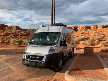
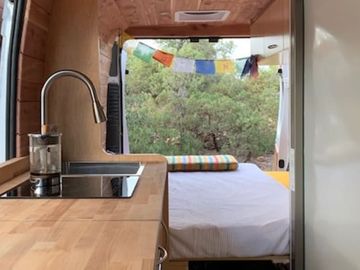
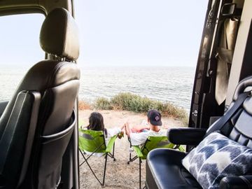
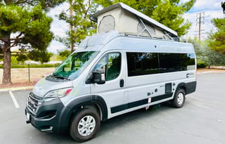
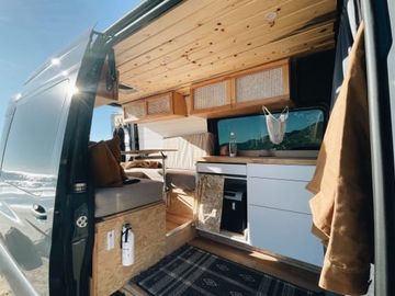
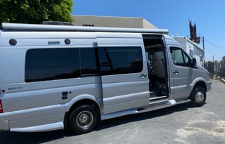
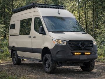
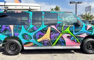
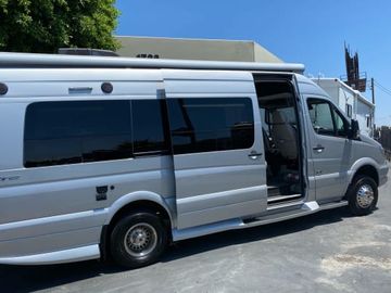








Tillie Creek is the night. It sits under oaks on the west shore of Lake Isabella, about an hour east of Bakersfield on CA-178, and it books on Recreation.gov months before the weekend you want it. Book the site first and the van second, because the site is the part that runs out. One rule for the rest of the trip: do not swim the Kern. Drowning is the leading accidental death on this river, and the current pulls harder than it looks.
The lower canyon and the upper Kern above Kernville
The lower Kern drops from the Isabella dams through a narrow, steep canyon, sycamore and willow right at the waterline and dry oak slopes climbing away from it. Outfitters raft this run through most of the summer because the dams keep the flow up long after the snow is gone. If you want to overnight down here, it is Sandy Flat, Hobo, or the dispersed sites at Black Gulch, and nothing in between, so come with the reservation already made (Sequoia National Forest). Sandy Flat is one loop of short back-ins among ice-age boulders, with river access from the day-use area and roughly 30-foot rigs at the long end (Recreation.gov).
Above Kernville the river changes hands. Mountain 99 traces the Wild and Scenic North Fork north toward the Johnsondale Bridge, and Forest Service camps like Goldledge and Fairview sit right on the water. The whitewater up here runs on snowmelt, so a heavy-runoff spring and a dry one are two different rivers. Kernville is the small town the whole weekend orbits.
Lake Isabella and the night at Tillie Creek
Lake Isabella sits at the hinge between the two rivers, 11,000 acres of it, and by mid-afternoon the wind comes up hard enough to make it one of California's better windsurfing lakes. Bakersfield's July high averages about 98 F (NOAA normals), which is the whole argument for sleeping up on the water instead of down on the valley floor. Tillie Creek runs 159 sites with potable water and vault toilets, a 45-foot limit, no hookups, open April through October (Sequoia National Forest). Its dump station is out of service as of August 2026, so empty tanks somewhere else. These mountain campgrounds cap length and skip hookups, so if the group wants more room or a powered site, step up to a full RV in California.
Red Rock Canyon on the desert side
Red Rock Canyon State Park points the other direction, east on CA-58 and then CA-14 as the road tips down toward the Mojave. The Ricardo campground sits under the White House cliffs, banded red, orange, and purple faces that go molten in the last hour of light. Camping is first-come, motorhomes and campers to 30 feet (California State Parks). It is a night you add on a desert loop, not the reason the van left Bakersfield.
Sequoia is a Fresno trip
Sequoia is the park renters keep asking about, but the giant trees sit on the far side of a road problem: the south approach on Highway 198 advises against vehicles over 22 feet past Potwisha, so the workable van route loops in through Fresno instead (National Park Service). Start that one from campervans in Fresno, one city on the California campervan map.