

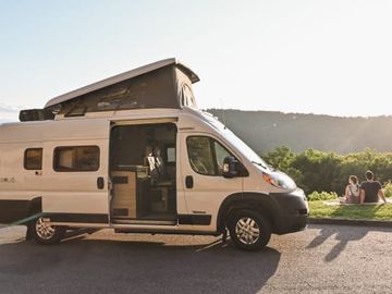
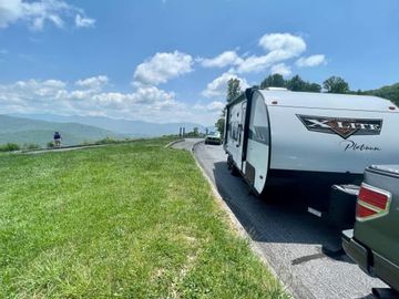
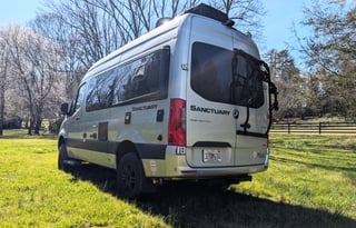
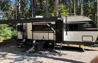
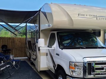
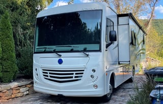
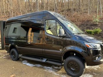
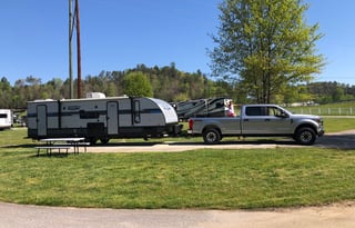








An Asheville RV week starts on the estate road at Biltmore, where the woods give way and the limestone chateau comes into view. By afternoon you're back in town, and by evening the rig is right where you left it, parked for the whole stay while the Blue Ridge goes dark over the rooftops. Seven nights in one place give a family time for the house and the gardens at their own pace, with the mountain drives saved for clear days.
The estate parks motorhomes in Lot C, where RV drivers check in with the first available parking host and follow the signs to the complimentary shuttle building, as of October 2026. The rig stays in the lot while you're on the estate, and nobody has to thread a motorhome up to the house.
Most nights end at Asheville Bear Creek RV Park, open year-round in town, with a seasonal pool for the afternoons when nobody wants another garden. The park lists more than 100 paved, level sites with water, sewer, and 30 and 50 amp power at every one. Pull-throughs run 25 by 60 feet and back-ins 25 by 50, with sites for big rigs beyond those. Reservations go through the office by phone.
For the days off the estate, Bent Creek's trails wind around Lake Powhatan on the south edge of town. The longest drive of the week runs northwest to Hot Springs, an Appalachian Trail town on the French Broad, and up to the open grassy bald at Max Patch above it.
Blue Ridge Parkway tunnels south of Asheville
South of town the Parkway climbs away from the French Broad toward the Pisgah ridges, and the road starts threading through tunnels cut straight into the mountain. The portals are rough stone arches, and in fall the color closes in tight around them, red and gold on both sides of a dark mouth.
Height is what a motorhome has to plan for here. The Park Service counts 25 tunnels on the North Carolina stretch. Many of them, though not all, have a minimum clearance of 14 feet 0 inches at the edgeline, and none is lit inside. Measure the rig to the top of whatever sits on the roof, compare it with the listed minimum before you drive, and detour off the Parkway when it doesn't clear, as the Park Service advises.
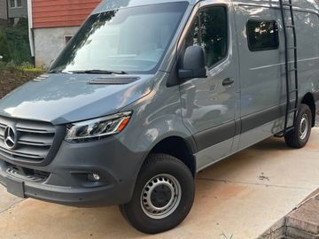
North of town the same check applies on the way up to Craggy Gardens, where rhododendron thickets cover the balds, and on to Mount Mitchell, the highest summit east of the Mississippi. Both work as day drives from the town pad, and the Asheville campervan page covers them in a smaller vehicle.
Mount Pisgah campground on the Parkway
A loop road winds through hardwoods just under the summit of Mount Pisgah, and the air up there stays cool when Asheville is warm. It's the week's one night out of town, on the ridge you've been looking at from the pad.
The campground sits at milepost 408.8 and opens May through late October, weather permitting, then closes for winter, as of October 2026. There are no hookups, but there's a dump station and drinking water, so a rig coming up from a week on full hookups arrives with clean tanks and dumps again on the way down. Pad lengths vary around the loop, with site B01 listed at 35 feet, so reserve the site first and let its length pick the motorhome.
Down the mountain from Pisgah, Looking Glass Falls pours off a rock ledge beside the road on the way to the Davidson River, and for two people, or a site shorter than your motorhome, the Asheville campervan trips sleep there in a smaller vehicle. Past Pisgah the Parkway runs on southwest to Cherokee and the edge of the Smokies, which have their own RV page, and Bryson City's RV page has Deep Creek.